.
Feedback

Google Maps Car Spotted in New Rochelle

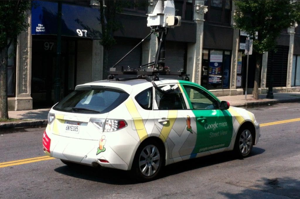
The search engine giant uses the car to take pictures of cities at street level that are then incorporated into their maps.

What's coming to Google Maps sometime soon? Maybe you. Or me.

I spotted a Google Maps car today on Leroy Place. It turned right at Centre Avenue and I was able to catch up to it before the light turned green on Main Street.

So if you happen to be googling an address on Leroy Place sometime in the near future and you seen someone with a Patch Polo shirt and a blurred out face, that is me.

Google has an interesting article about how the street views are put together. Check it out.

Newsletter & Alerts

Get the best stories each day and important breaking news

Subscribe

Not from New Rochelle Patch? Find your Local Patch »

Note Article
Just a short thought to get the word out quickly about anything in your neighborhood.
Share something with your neighbors. Write a new post... What's up? Make an announcement, speak your mind, or sell something
Ina Aronow June 11, 2013 at 10:40 pm
It seemed to me the key point of moving the City Yard from the waterfront was to open up theRead More waterfront and turn that run down and obsolete yard into a public park overlooking Long Island Sound. The westside site was the most cost effective place to move the yard. Not ideal, but no real alternative has been proposed. I don't think this has much to do with racism. All races can enjoy more of the waterfront. Any development around it will add to our tax base
Martin Sanchez June 12, 2013 at 08:35 am
Ms. Aronow, The issue is that an alternative has been suggested, Ward Acres, as it is much largerRead More and strategically beneficial for the City of New Rochelle. I don't think the recent public discussions has resulted in unanimity in terms of the waterfront being an entirely public venue for all races to enjoy.